A report from the 72nd Sachsensymposion
Making places, making lives: Landscape and settlement in coastal wetlands
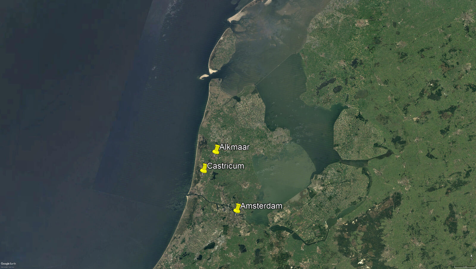
Between 9th to 12th October, I attended this conference, held jointly in the city of Alkmaar and town of Castricum, in North Holland. I’ve been a member of the Internationales Sachsensymposion, an annual gathering of academics who specialise in the study of the first millennium AD in northern Europe, for many years. These gatherings are always interesting and enriching; they provide an opportunity to see landscapes hitherto known only from maps, and meet fellow researchers, putting faces to, and becoming friends with, names that would otherwise be known only from bibliographies. There is usually a strong British contingent present, but this year I was the only English person present, due to the uncertainty over international travel arrangements caused by the pandemic.
This year’s symposium, which had been postponed from last year (again, because of the pandemic), held a great deal of relevance for our ongoing work on the Lossenham Project, and the study of the Rother valley and levels. Like the Rother valley and Romney Marsh, North Holland is an extremely dynamic (and often fluid) landscape, whose geography and history has been dominated over millennia by changes in sea level, climate, and the courses of river systems. Thus, I noted many points of relevance in the presentations. ‘Millennia of coastal dynamics: A new series of palaeo-geographical maps of the province of North Holland’, a paper by Peter Vos and Rob van Eerden, was of particular interest. This showcased a series of new maps, drawing on the latest available evidence, that reconstruct the extremely complex changes in the coastline and islands of North Holland over three millennia, providing snapshots at 500 and 250 BC, and AD 100, 500, 800 and 1250. These maps were the product of thousands of hours of painstaking research and allow us a clear picture of the shifting landscape of this low-lying region over time; they will be of immense use to researchers for decades to come. I hope that in due course our own work on the Lossenham project will allow us to refine the maps we can present of the Rother Valley and its relationship with the marshes and coastline to the east and south-east.
One thing that struck me about the new Dutch maps was that they do not show a simple progression of land reclamation over time. Rather, the picture is much more complex, with areas becoming inundated, or becoming dry, in response to various environmental changes over time. In particular, the map for the thirteenth century showed many newly inundated areas compared to the earlier maps. This was, apparently, due to great storms breaching coastal sand dunes and other defences. This is pretty much what happened in our region from the mid-1200’s onwards, culminating in the total destruction of Old Winchelsea, hitherto one of the most important ports on the south coast, in 1287. It was a clear reminder, if one were needed, that the British coast is only one side of the story, and that what happens on the other side of the Channel, or indeed the North Sea, is inextricably connected to, and part of, Britain’s past. That is what makes international networks such as the Sachsensymposion just as important and valuable as they ever were to understanding our shared European heritage.
Andrew Richardson